Map of Japan, China and Korea, Jakob van der Schley, 1747

Map of Japan, China and Korea, Jakob van der Schley, 1747

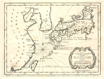
Map of japan, china and korea. Kaart van de eilanden van japan, en van 't half eiland kor??a; met de kusten van china, van pekin tot canton. Carte des isles du japon et la presqu isle de coree, avec les costes de la chine depuis pekin jusqu'a canton. Date: 1747. Dimensions: height: 21.5 cm (8.4 in); width: 16.5 cm (6.4 in). Medium: engraving on paper. Collection: Koninklijke Bibliotheek. AMH-7930-KB Map of Japan, China and Korea
Edit image
Published by:
Creazilla
Author: Jacques-Nicolas BellinSource: commons.wikimedia.org

Loading...

2 downloads
Loading...
maps of the dutch east india company - koreamaps of the dutch east india company - japanmaps of the dutch east india company - taiwanmaps of the dutch east india company - china1740s maps of taiwan1747 maps of asiamaps by jakob van der schleyengraving on paperkoninklijke bibliotheekjakob van der schley

MORE LIKE THIS

Creazilla logo
Over 10 million free graphic resources for content creators and designers.
© 2018 - 2025 Creazilla
Our resourcesAll imagesPhotosDigital illustrationsClipartIconsPNG ImagesEmojisSilhouettesTraditional Art3D ModelsVectorsFontsColor namesColor palettesGradientsAudioAnimationVideosTemplates
InformationAbout CreazillaTerms of useTech teamPrivacy policyLicence Information
FeedbackContact Us