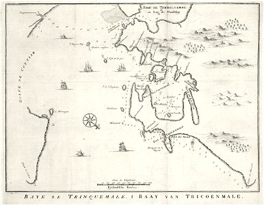
Map of the Bay of Tricomale, Jakob van der Schley, circa 1753
Map of the bay of tricomale. Baye de trinquemale / baay van tricoenmale. Cf. Scheepvaartmuseum, amsterdam, inv. Nr. Snsm_b0032(109)06[chart077]. Date: circa 1753. Dimensions: height: 36 cm (14.1 in); width: 27 cm (10.6 in). Medium: engraving on paper. Collection: Koninklijke Bibliotheek. AMH-8001-KB Map of the Bay of Tricomale