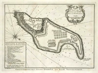
Map of the island of Goeree, Jakob van der Schley, 1747
Map of the island of goeree. Grondtékening van 't eiland goerée, met deszelfs vestingwerken. Plan de l'isle de goré avec ses fortifications. Key: a-n. Date: 1747. Dimensions: height: 29.5 cm (11.6 in); width: 22 cm (8.6 in). Medium: engraving on paper. Collection: Koninklijke Bibliotheek. AMH-7888-KB Map of the island of Goeree