Map of the bay of Hocsieu, Jakob van der Schley, 1749

Map of the bay of Hocsieu, Jakob van der Schley, 1749

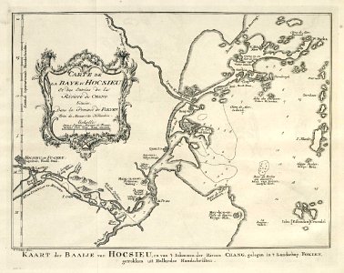
Map of the bay of hocsieu. Kaart der baaije van hocsieu, en van 't inkoomen der riviere chang, gelegen in 't landschap fokien, getrokken uit hollandse handschriften. Carte de la baye d'hocsieu et des entrées de la riviere de chang. Situées, dans la province de fokyen / tirées de manuscrits hollandois. Date: 1749. Dimensions: height: 20.5 cm (8 in); width: 16 cm (6.2 in). Medium: engraving on paper. Collection: Koninklijke Bibliotheek. AMH-7974-KB Map of the bay of Hocsieu
Edit image
Published by:
Creazilla
Author: Pieter de HondtSource: commons.wikimedia.org

Loading...

0 downloads
Loading...
maps of the dutch east india company - china1749 mapsold maps of fujianmaps by jakob van der schleyengraving on paperkoninklijke bibliotheekjakob van der schley

MORE LIKE THIS

Creazilla logo
Over 10 million free graphic resources for content creators and designers.
© 2018 - 2025 Creazilla
Our resourcesAll imagesPhotosDigital illustrationsClipartIconsPNG ImagesEmojisSilhouettesTraditional Art3D ModelsVectorsFontsColor namesColor palettesGradientsAudioAnimationVideosTemplates
InformationAbout CreazillaTerms of useTech teamPrivacy policyLicence Information
FeedbackContact Us