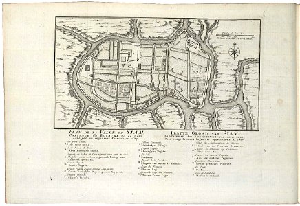
Map of the city of Siam, Jakob van der Schley, circa 1753
Map of the city of siam. Plan de la ville de siam capitale du royaume de ce nom; levé par un ingenieur françois en 1687. Platte grond van siam hoofd stad des koningryks van dien naam; door eenen fransen ingenieur opgenoomen a:o 1687. Key: a-s. Date: circa 1753. Dimensions: height: 26 cm (10.2 in); width: 14.5 cm (5.7 in). Medium: engraving on paper. Collection: Koninklijke Bibliotheek. AMH-8008-KB Map of the city of Siam