Map of the Benin Gulf, Jakob van der Schley, 1747

Map of the Benin Gulf, Jakob van der Schley, 1747

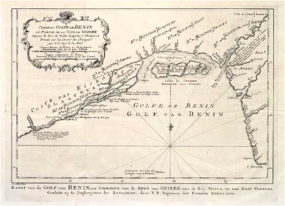
Map of the benin gulf. Kaart van de golf van benin, en gedeelte van de kust van guinée, van de riv. Volta tot aan kaap formosa / geschikt op de daghregisters der zeelieden, door n. B. Ingenieur des fransen zeevaards. Carte du golfe de benin et partie de la côte de guinée depuis la riv. De volta jusquáu c. Formosa dressée surles journ:x de la navigat:rs. / par n. B. Ing:r de la mar:e. Date: 1747. Dimensions: height: 22.5 cm (8.8 in); width: 16.5 cm (6.4 in). Medium: engraving on paper. Collection: Koninklijke Bibliotheek. AMH-7951-KB Map of the Benin Gulf
Edit image
Published by:
Creazilla
Author: Jakob van der SchleySource: commons.wikimedia.org

Loading...

0 downloads
Loading...
maps of the west-indische compagnie1747 maps of africamaps by jakob van der schleyengraving on paperkoninklijke bibliotheekjakob van der schley

MORE LIKE THIS

Creazilla logo
Over 10 million free graphic resources for content creators and designers.
© 2018 - 2025 Creazilla
Our resourcesAll imagesPhotosDigital illustrationsClipartIconsPNG ImagesEmojisSilhouettesTraditional Art3D ModelsVectorsFontsColor namesColor palettesGradientsAudioAnimationVideosTemplates
InformationAbout CreazillaTerms of useTech teamPrivacy policyLicence Information
FeedbackContact Us