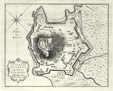
Map of the city of Cayenne, Jakob van der Schley, 1757
Map of the city of cayenne. La ville de cayenne. De stad cayenne. At the time this chart was drawn, cayenne was in french hands. Date: 1757. Dimensions: height: 21 cm (8.2 in); width: 17 cm (6.6 in). Medium: engraving on paper. Collection: Koninklijke Bibliotheek. AMH-8030-KB Map of the city of Cayenne