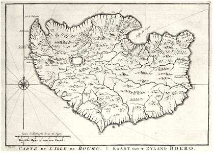
Map of the island of Boero, Jakob van der Schley, circa 1753
Map of the island of boero. Carte de l'isle de bouro / kaart van 't eyland boero. This map is drawn on the basis of a chart contained in 'oud en nieuw oost-indiën' by françois valentyn. The town of cajeli is not indicated on the map, but the bay of cajeli is. Date: circa 1753. Dimensions: height: 29 cm (11.4 in); width: 20 cm (7.8 in). Medium: engraving on paper. Collection: Koninklijke Bibliotheek. AMH-7996-KB Map of the island of Boero