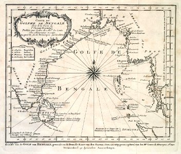
Map of the Gulf of Bengal, Jakob van der Schley, 1747
Map of the gulf of bengal. Kaart van de golf van bengale. Carte du golphe de bengale. To the left on the chart, the abbreviations used are explained. Date: 1747. Dimensions: height: 20 cm (7.8 in); width: 17 cm (6.6 in). Medium: engraving on paper. Collection: Koninklijke Bibliotheek. AMH-7927-KB Map of the Gulf of Bengal