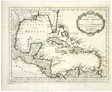
Map of the Gulf of Mexico, Jakob van der Schley, 1768
Map of the gulf of mexico. Kaart van de golf van mexico, en van de amerikaanse eilanden / carte du golphe du mexique et des isles de l'amerique. Date: 1768. Dimensions: height: 29.5 cm (11.6 in); width: 24 cm (9.4 in). Medium: engraving on paper. Collection: Koninklijke Bibliotheek. AMH-8039-KB Map of the Gulf of Mexico