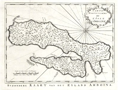
Map of the island of ambon. Byzondere kaart van het eyland amboina. / carte particulié?re de l'isle d'amboine. This map has been drawn on the basis of a chart included in 'oud en nieuw oost-indiën' by françois valentyn. Cf. Scheepvaartmuseum, amsterdam, inv. Nr. Snsm_b0032(109)06[chart169] and museum bronbeek, arnhem, inv. Nr. 3113. 11. Date: circa 1753. Dimensions: height: 29.5 cm (11.6 in); width: 22.5 cm (8.8 in). Medium: engraving on paper. Collection: Koninklijke Bibliotheek. AMH-7994-KB Map of the island of Ambon
Loading...