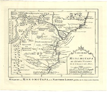
Map of part of Mozambique, Jakob van der Schley, 1747
Map of part of mozambique. Monarchy van monomotapa, en de nabuurige landen, getrokken uit de l'isle en andere schryveren. Empiere du monomotapa et etats voisins / tiré de m. Delisle et autres auteurs. Date: 1747. Dimensions: height: 25.5 cm (10 in); width: 19 cm (7.4 in). Medium: engraving on paper. Collection: Koninklijke Bibliotheek. AMH-7964-KB Map of part of Mozambique