Map of Saldanha Bay, Jakob van der Schley, 1747

Map of Saldanha Bay, Jakob van der Schley, 1747

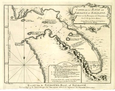
Map of saldanha bay. Kaart van de saldanna, of saldanië / vervaardigd op de aanmerkingen der zee-lieden, door n. B. Ingenieur des fransen zeevaards. Carte dela baye de saldana ou saldan. / dressée sur les remarques des navigateurs, par n. B. Ing:r de la marine. Key: a-c. Date: 1747. Dimensions: height: 20.5 cm (8 in); width: 16.5 cm (6.4 in). Medium: engraving on paper. Collection: Koninklijke Bibliotheek. AMH-7959-KB Map of Saldanha Bay
Edit image
Published by:
Creazilla
Author: Jacques-Nicolas BellinSource: commons.wikimedia.org

Loading...

0 downloads
Loading...
maps of the dutch east india company - south africa1747 maps of africasaldanha baymaps by jakob van der schleyengraving on paperkoninklijke bibliotheekjakob van der schley

MORE LIKE THIS

Creazilla logo
Over 10 million free graphic resources for content creators and designers.
© 2018 - 2025 Creazilla
Our resourcesAll imagesPhotosDigital illustrationsClipartIconsPNG ImagesEmojisSilhouettesTraditional Art3D ModelsVectorsFontsColor namesColor palettesGradientsAudioAnimationVideosTemplates
InformationAbout CreazillaTerms of useTech teamPrivacy policyLicence Information
FeedbackContact Us