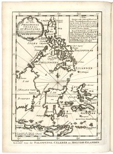
Map of Celebes, the Moluccas and the Philippines, Jakob van der Schley, 1747
Map of celebes, the moluccas and the philippines. Kaart van de fillippynse, celebes, en molukse-eilanden. Carte des isles philippines celebes et moluques. Date: 1747. Dimensions: height: 13.5 cm (5.3 in); width: 18 cm (7 in). Medium: engraving on paper. Collection: Koninklijke Bibliotheek. AMH-7929-KB Map of Celebes, the Moluccas and the Philippines