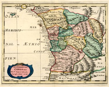
Map of the coast of Congo and Angola, Adriaan de Winter, circa 1705
Map of the coast of congo and angola. 't koninkryk van congo. Enz. Date: circa 1705. Dimensions: height: 21.5 cm (8.4 in); width: 27 cm (10.6 in). Medium: coloured engraving on paper. Collection: Koninklijke Bibliotheek. AMH-6676-KB Map of the coast of Congo and Angola