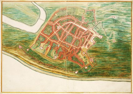
Title in the leupe catalogue (na): plattegrond van (olinda). Map of olinda. Remarks: this map forms part of the vingboons atlas. Date: circa 1665. Dimensions: height: 59 cm (23.2 in); width: 41 cm (16.1 in). Medium: watercolour on paper. Collection: Nationaal Archief. AMH-6804-NA Map of Olinda