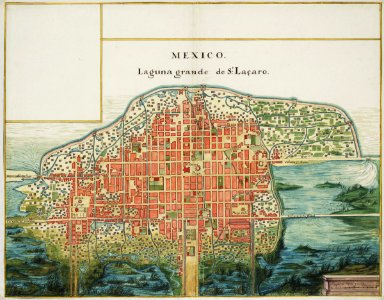
Map of the city of Mexico, Johannes Vingboons, circa 1665
Title in the leupe catalogue (na): plattegrond van de stad mexico. Map of the city of mexico. Mexico / laguna grande de s;t laçaro. Remarks: the chart is contained in the vingboons atlas. Top left and right the frames are left blank. Date: circa 1665. Dimensions: height: 55 cm (21.6 in); width: 43 cm (16.9 in). Medium: watercolour on paper. Collection: Nationaal Archief. AMH-6781-NA Map of the city of Mexico