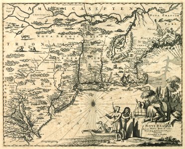
Map of the New Netherlands, Jacob van Meurs, circa 1671
Map of the new netherlands. Novi belgii quod nunc novi jorck vocatur novae q angliae & partis virginiae / accuratissima et novissima delineatio. Cf. Koninklijke bibliotheek, the hague, inv. Nr. 1049b13_074. Date: circa 1671. Dimensions: height: 30 cm (11.8 in); width: 37 cm (14.5 in). Medium: engraving on paper. Collection: Koninklijke Bibliotheek. AMH-6723-KB Map of the New Netherlands