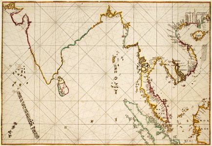
Map of the Indian Ocean, Johannes Vingboons, circa 1665
Title from the leupe catalogue (na): kaart van het noordelijk gedeelte van den indischen oceaan van omtrent de golf van cambaya tot omtrent padang en van het westelijk gedeelte der chineesche zee van omtrent banka tot omtrent het eiland aynam (hainan). Map of the indian ocean. Remarks: the chart is taken from the atlas vingboons. Date: circa 1665. Dimensions: height: 48 cm (18.8 in); width: 69 cm (27.1 in). Medium: watercolour on paper. Collection: Nationaal Archief. AMH-6733-NA Map of the Indian Ocean