Map of the Arabian peninsula, Johannes Vingboons, circa 1665

Map of the Arabian peninsula, Johannes Vingboons, circa 1665

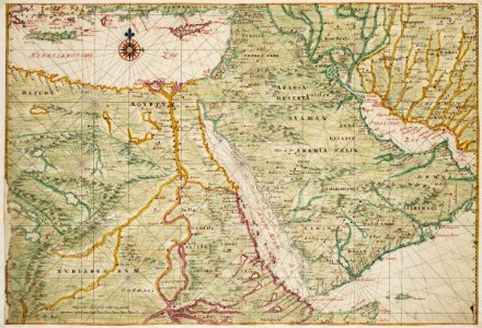
Title in the leupe catalogue (na): kaart van de roode zee, van een gedeelte der noordkust van somaliland, van de zuid en oostkust van arabië, en de perzische golf. Map of the arabian peninsula. Remarks: the chart is taken from the atlas vingboons. Date: circa 1665. Dimensions: height: 48 cm (18.8 in); width: 70 cm (27.5 in). Medium: watercolour on paper. Collection: Nationaal Archief. AMH-6736-NA Map of the Arabian peninsula
Edit image
Published by:
Creazilla
Author: Johannes VingboonsSource: commons.wikimedia.org

Loading...

2 downloads
Loading...
old maps of the dutch east india company1665atlas vingboonswatercolour on papernationaal archiefjohannes vingboons

MORE LIKE THIS

Creazilla logo
Over 10 million free graphic resources for content creators and designers.
© 2018 - 2025 Creazilla
Our resourcesAll imagesPhotosDigital illustrationsClipartIconsPNG ImagesEmojisSilhouettesTraditional Art3D ModelsVectorsFontsColor namesColor palettesGradientsAudioAnimationVideosTemplates
InformationAbout CreazillaTerms of useTech teamPrivacy policyLicence Information
FeedbackContact Us