Log in
All resources
Create a design
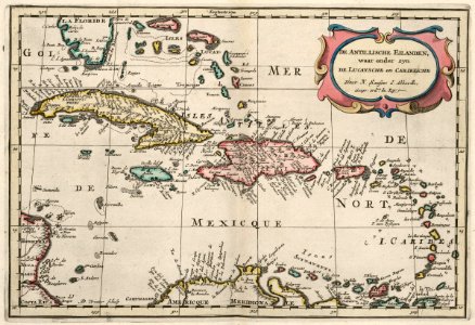
Map of the Caribbean, circa 1705
Map of the caribbean. De antillische eilanden waar onder zyn de lucaysche en caribesche. Date: circa 1705. Dimensions: height: 22 cm (8.6 in); width: 32 cm (12.5 in). Medium: coloured engraving on paper. Collection: Koninklijke Bibliotheek.
Download
Edit image
Published by:
Creazilla
Author:
Nicolas Sanson
Source:
commons.wikimedia.org
Loading...
0 downloads
Print it
Copy image
Loading...
maps of the west-indische compagnie
1700s maps of the caribbean
maps by nicolas sanson
anthonie de winter
coloured engraving on paper
koninklijke bibliotheek
MORE LIKE THIS