Log in
All resources
Create a design
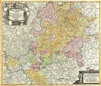
1730 Homann Map of the Upper Rhine ( Frankfurt, Cassel, Coblentz, Darmstadt ) - Geographicus - RhenanusSuperior-homann-1730
Download
Edit image
Published by:
Creazilla
Author:
Johann Homann (1664–1724)
Source:
commons.wikimedia.org
Loading...
0 downloads
Print it
Copy image
Loading...
johann baptist homann
old maps of hesse
latin-language maps
maps by homannsche erben
maps of hesse-cassel
1730 maps
hesse in the 18th century
MORE LIKE THIS