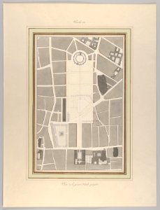
The Corn Market, Street Map, Pierre-François-Léonard Fontaine, circa 1810
Drawing. Date: circa 1810. Dimensions: Sheet: 11 7/16 × 10 1/16 in. (29 × 25.5 cm). Medium: graphite, pen and gray wash, watercolor. Collection: Metropolitan Museum of Art. La Halle aux Blés, Street Plan MET DP836564