Log in
All resources
Create a design
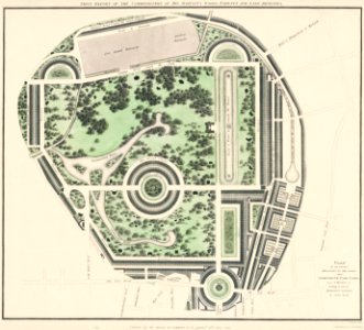
The cartographic report by James Basire (1769-1822) of his majesty’s woods, forests, and land revenues.
Download
Edit image
Published by:
Creazilla
Author:
Library of Congress
Source:
rawpixel.com
Loading...
0 downloads
Print it
Copy image
Loading...
maps
architecture
chart
plan
architectural sketch
1700s
public domain
maps antique
architecture plan
vintage chart
king sketch
vintage architecture
MORE LIKE THIS